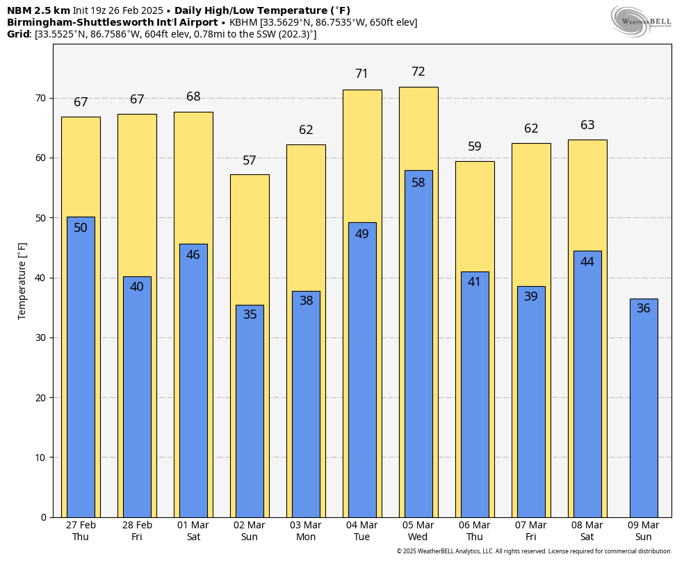
WARM WINTER DAY: Temperatures are in the 75-80 degree range across Alabama this afternoon with sunshine in full force… the average high for February 26 at Birmingham is 62. We note Birmingham’s high so far today is 77, three degrees shy of the record high of 80, set in 1962 and 1977. Tonight will be mostly fair with a low in the 47-54 degree range.
A surface front will pass through Alabama tomorrow, but with limited moisture and weak dynamics any showers will be few and far between… most places won’t see a drop. Temperatures drop about ten degrees with a mix of sun and clouds; the high will be in the 60s.
FRIDAY AND THE WEEKEND: The weather will be dry with mostly sunny pleasant days and clear cool nights. Highs will be in the upper 60s and low 70s Friday and Saturday, but dropping into the 50s over North Alabama Sunday following a dry front Saturday night. Some of the colder spots could be close to freezing early Saturday and Sunday morning over the northern third of the state.
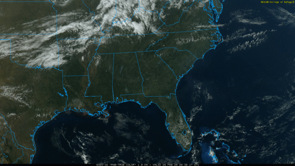
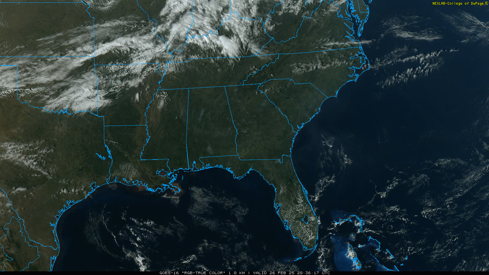
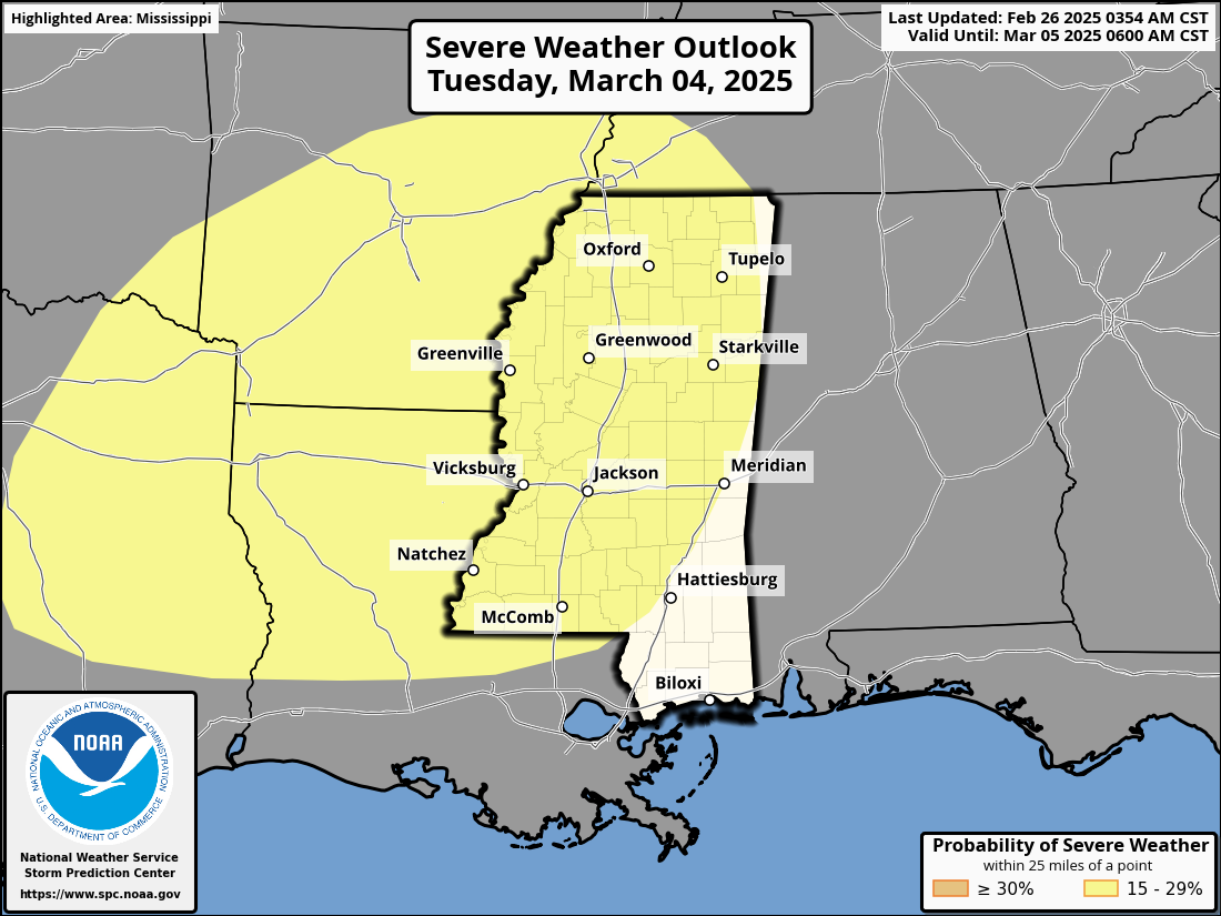
NEXT WEEK: A dynamic system will bring rain and thunderstorms into Alabama by late Tuesday night and Wednesday. SPC has defined a risk of severe storms west of Alabama Tuesday; for now no formal risk is in place here Wednesday, but it could easily be added in coming days. But with strong wind fields and a surge of unstable air strong to severe storms are very possible.
Dry air returns Thursday and Friday… See the video briefing for maps, graphics, and more details.
ON THIS DATE IN 2008: A long-lived windstorm produced by severe thunderstorms, known as a derecho, caused a widespread swath of damage across Central Alabama during the early morning hours. Although there were some sporadic reports of light tree damage and small hail west of Interstate 65, a more intense and widespread swath of damage started in southern Jefferson and northern Shelby Counties between 3:30 am and 4:00 am. From there, the damage swath moved eastward, roughly parallel to Interstate 20, reaching the Georgia border by 5:00 am. Thunderstorm wind gusts estimated at 60 to 70 mph were widespread in this damage swath, with occasional hurricane force peak wind gusts, estimated just over 100 mph in some areas.
Three EF-1 tornadoes touched down… at Leeds, Highland Lakes (Blount County), and Pell City. One person was killed in Leeds by a tree falling through a mobile home.
Look for the next video briefing here by 6:00 a.m. tomorrow…