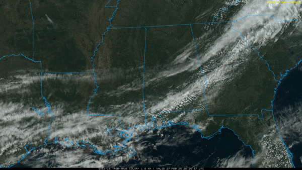
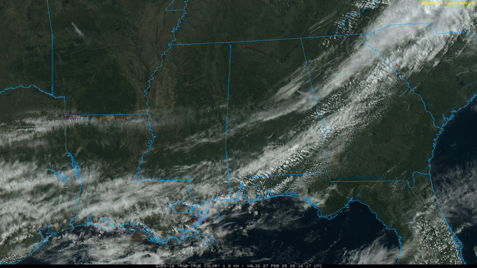
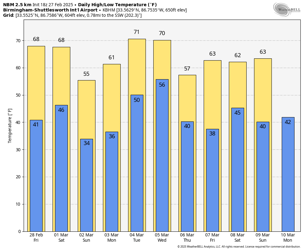
DRY FRONT: A dry surface front has passed through most of Alabama this afternoon with only scattered clouds and no rain. Temperatures are in the 60s over the northern half of the state, with 70s over the southern counties. Tonight will be clear with a low in the 37-45 degree range.
Dry weather continues through the weekend with mostly sunny days and fair cool nights tomorrow through Sunday. Highs will be in the 66-72 degree range tomorrow and Saturday, followed by mid to upper 50s for the northern counties of the state Sunday as cooler air creeps in from the north. Some of the colder spots over North Alabama could see a light freeze early Sunday morning.
NEXT WEEK: A dynamic storm system will bring a band of rain and thunderstorms into Alabama late Tuesday night into the pre-dawn hours Wednesday. SPC has defined a severe weather risk for all of Alabama; for now it looks like the main window for severe storms will come from around midnight Tuesday night through 10:00 a.m. Wednesday. A line of severe storms will likely move through the state with potential for damaging winds and few isolated tornadoes. We will be much more specific about the event as it gets closer.
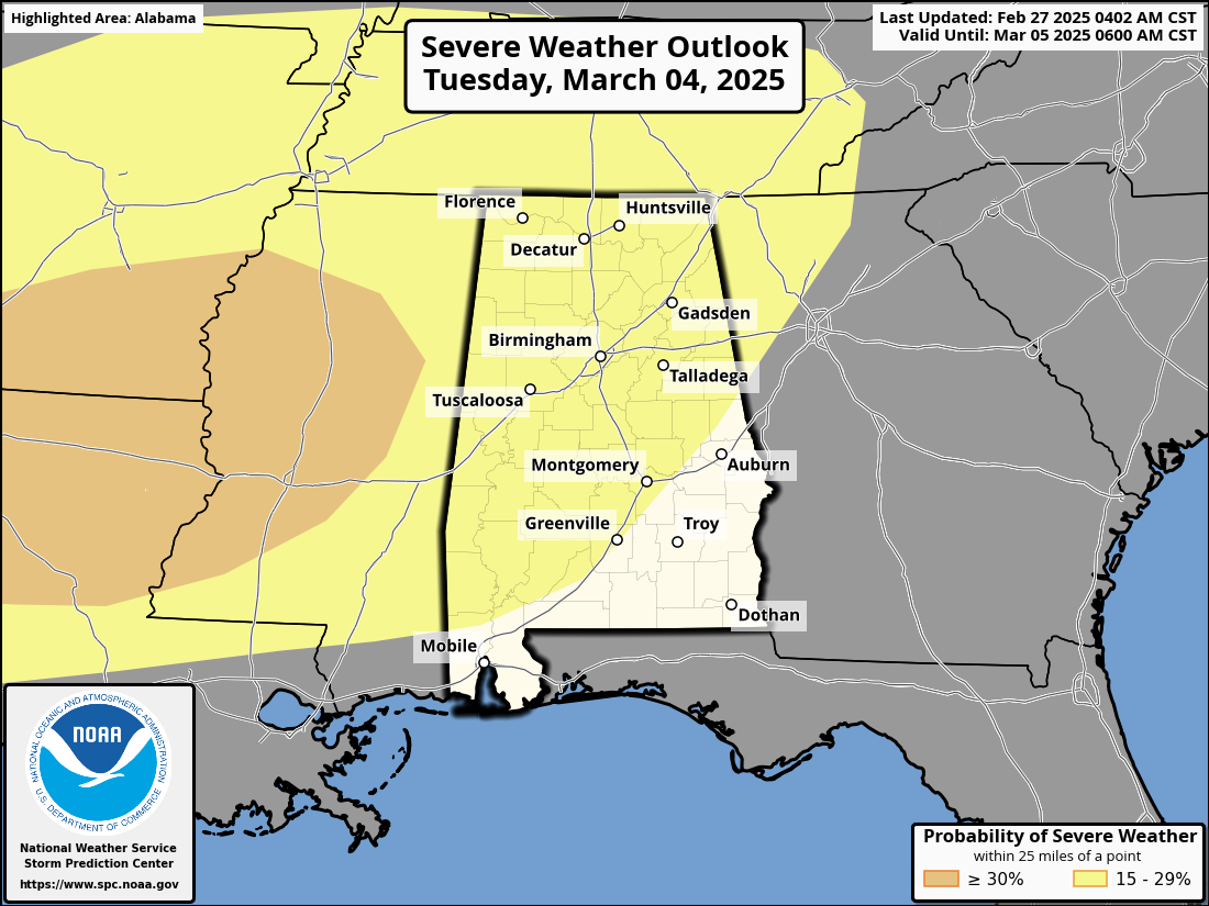
Rain amounts will be in the 1-2 inch range for the northern half of the state, with 1/2 to 1 inch for South Alabama. See the video briefing for maps, graphics, and more details.
ON THIS DATE IN 1999: A line of severe thunderstorms moved through North Alabama with damaging winds and isolated tornadoes. An F2 tornado moved through parts of Locust Fork, in Blount County. Another tornado touched down near Lexington in Lauderdale County.
Look for the next video briefing here by 6:00 a.m. tomorrow…