Airbus already provides satellite images of the Arctic to institutions for needs related to shipping, defence and safety at sea, and PONANT is its first commercial customer.
Images acquired by Airbus in near real-time provide valuable information on ice conditions all along the route. The crew can then adjust the itinerary to better take account of the environmental conditions, ensure the ship’s safety, optimise comfort for guests and limit fuel consumption.
Airbus delivers high-resolution optical and radar satellite imagery over the North Pole by adapting its satellite tasking based on the needs of the ship.
PONANT’s cruise ship Le Commandant Charcot, first used Airbus’ imagery during its first voyage to the North Pole in 2021. Ordered a few days in advance, the images produced by Airbus’ radar satellite constellation are available within just an hour of being purchased. The fleet support team receives the images and redirects them to the ship, and can then adjust the route plan accordingly.
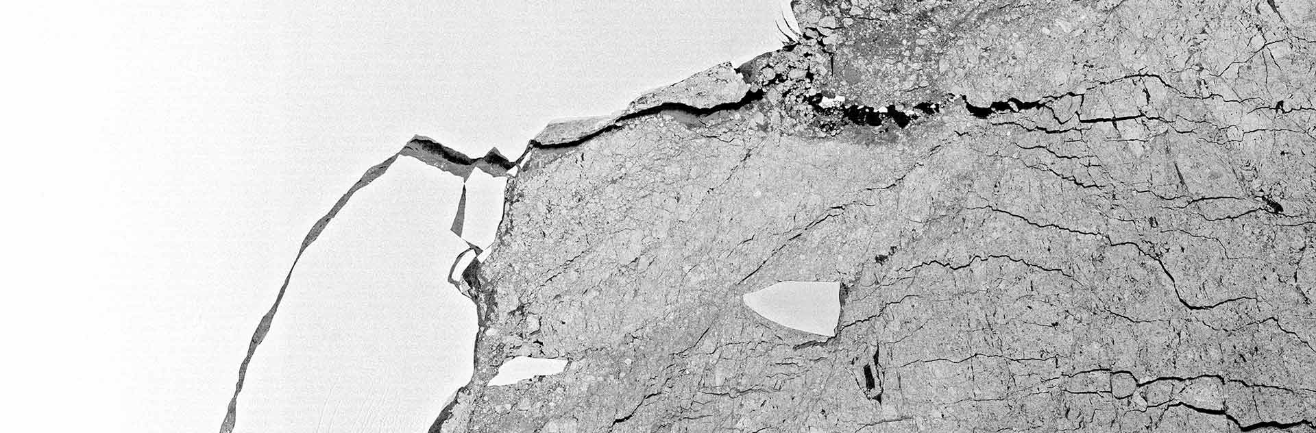
Airbus’ Radar satellites are ideal for ice monitoring applications, as they provide highly accurate imagery independent of light or weather conditions.
“Airbus technology is an invaluable aid when navigating in polar regions which are always full of surprises. The radar images are extremely precise enabling us to assess the surface, thickness and hardness of ice along the route and plan the most efficient path in terms of safety, comfort and fuel consumption. If necessary, we can even purchase images the same day,” explains Captain David Marionneau, Director Marine Operations at PONANT. “We will soon be using these images for Le Commandant Charcot’s first Northwest Passage crossing”.
New applications being considered
PONANT and Airbus are discussing other applications for Earth Observation imagery. The Pléiades Neo satellites 3 and 4, launched in 2021, supply an exceptional resolution of 30cm making it possible to envisage applications for detailed monitoring of areas such as ports and other regions such as the Antarctic.
“Le Commandant Charcot has specific needs in terms of accessibility, safety and protecting biodiversity. Working with PONANT on exploration cruise navigation in the Arctic enriches our respective operations and together we will develop innovative navigation aids,” says François Lombard, Head of Intelligence business at Airbus Defence and Space. “We are proud to take part in this first North Pole cruise adventure and we thank PONANT for their trust in us”.