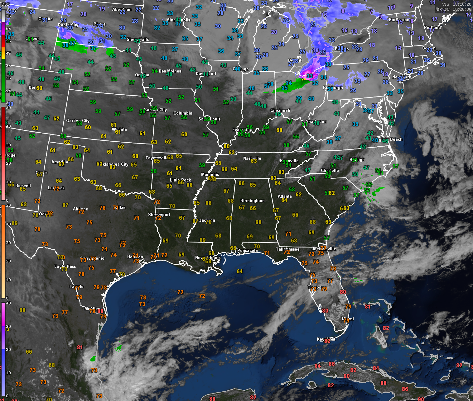
A beautiful Groundhog Day is in progress across Alabama with temperatures in the 60s across the state and sunshine filled skies giving us a little touch of spring.
Temperatures remain well above normal across Alabama, and highs will reach the upper 60s to lower 70s this afternoon. A steady southerly flow will continue to bring in warmer air, setting the stage for even higher temperatures on Monday, with some locations pushing into the mid-70s. Mostly clear skies tonight will allow for good radiational cooling, with lows dipping into the low to mid-40s. Some patchy fog may develop overnight, particularly in the southeastern half of the state, though coverage remains uncertain.
A mid-level jet approaching from the northwest on Monday will bring breezy conditions, especially north of I-20, but overall, dry weather will persist. The warmth will build through midweek, and record highs may be challenged by Tuesday and Wednesday. Moisture levels will gradually increase by Tuesday as a stalled front in the Tennessee Valley lifts north, bringing low-end rain chances to northern Alabama by midweek. The front will sag southward again on Thursday, bringing a slightly better chance of scattered showers and perhaps an isolated thunderstorm, though severe weather remains unlikely.
Category: Alabama’s Weather, ALL POSTS, Social Media