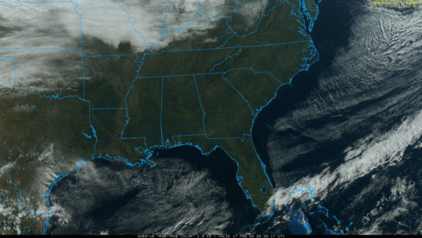
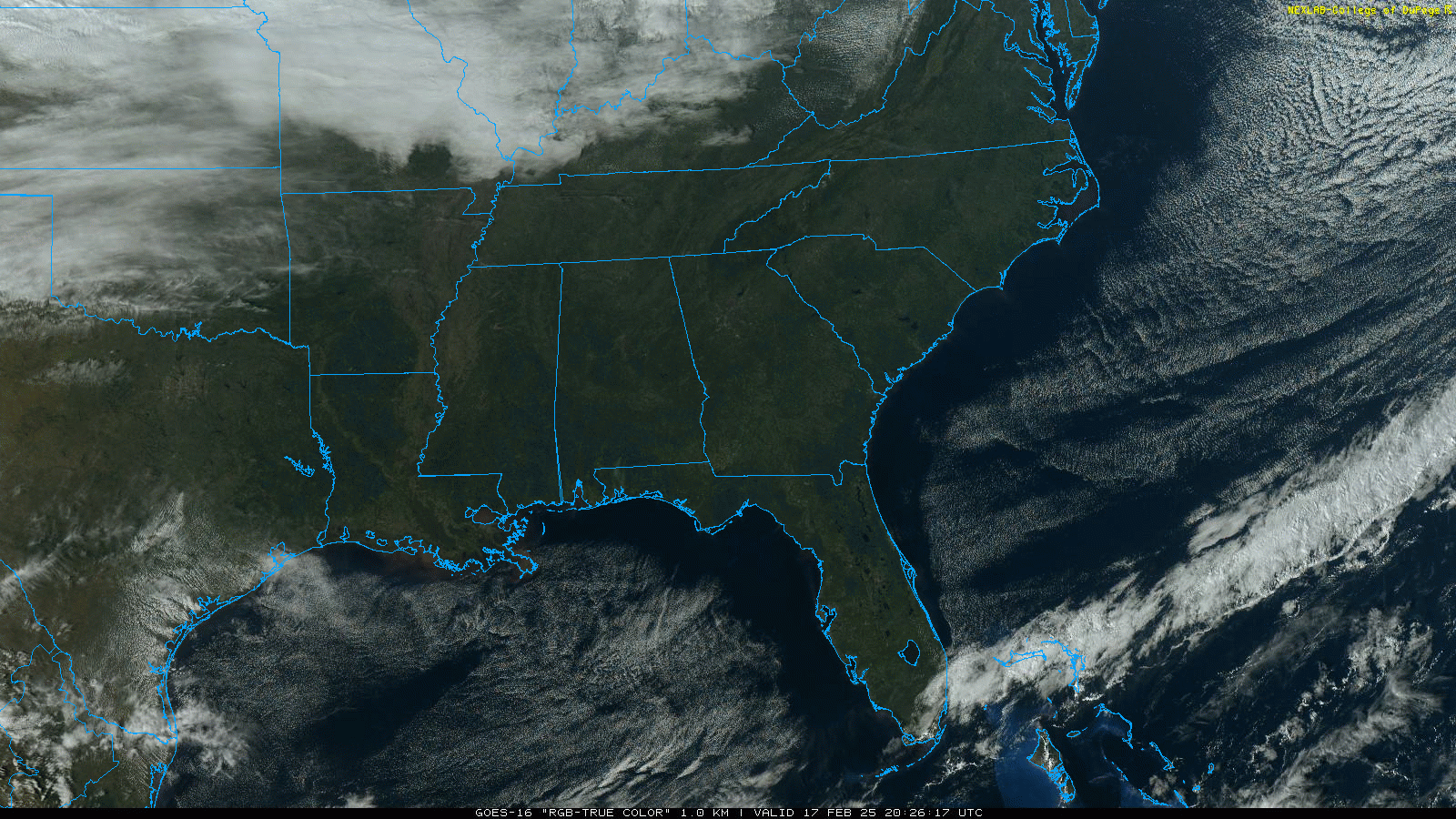
BLUE SKY: Temperatures are in the 40s and 50s across Alabama this afternoon with a cloudless sky. Tonight will be clear and cold with a low between 25 and 35 degrees for most places.
Tomorrow will be a dry day, although clouds will increase by afternoon; the high will be in the 55-62 degree range.
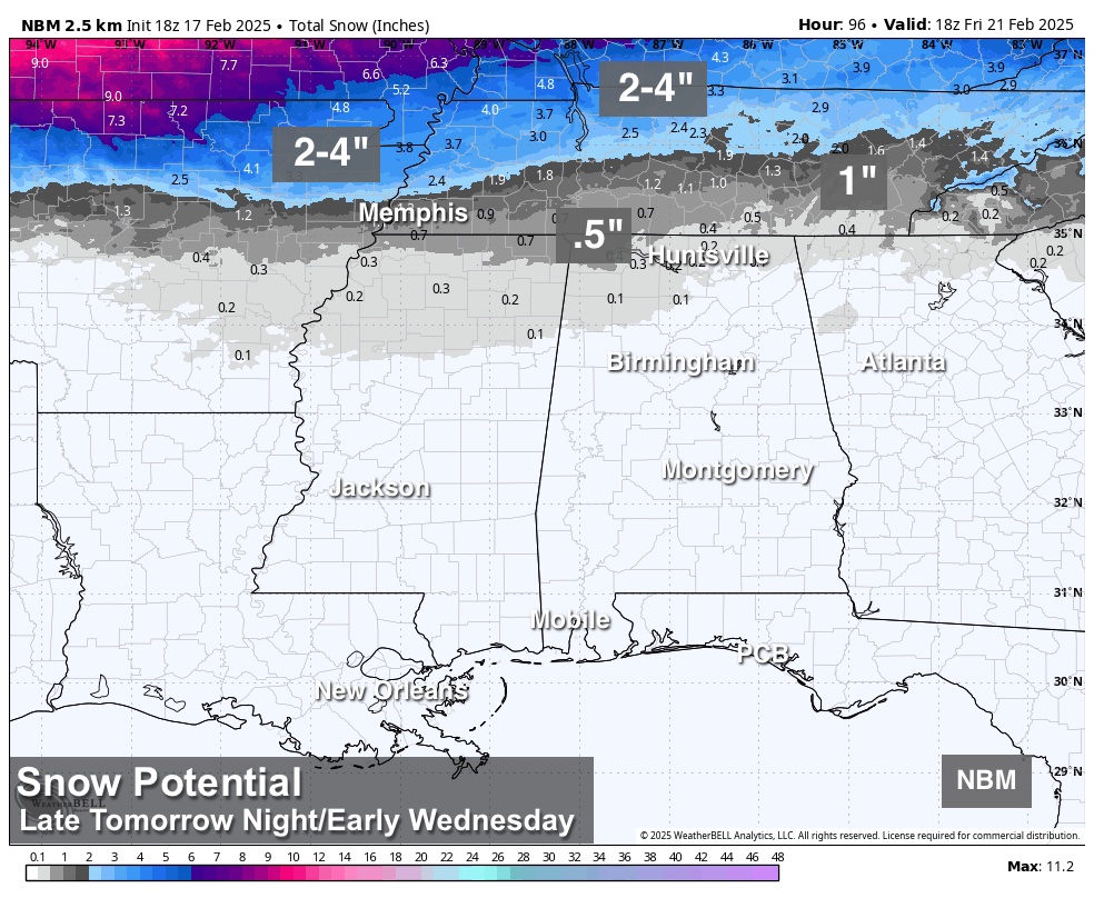
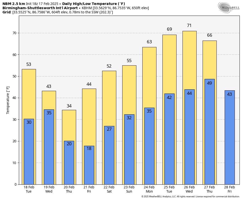
WINTRY MIX: A broad low in the northern Gulf will bring a cold rain to much of Alabama after midnight tomorrow night into Wednesday morning. Precipitation over the northern quarter of the state will be a “wintry mix” of some light snow, sleet, and freezing rain, generally north of a line from Hamilton to Cullman to Scottboro. With temperatures there in the 28-32 degree range at daybreak Wednesday, some light icing is possible mainly on bridges. Best chance of some light snow accumulation (1/2 inch or less) is north of the Tennessee River, especially around Florence/Muscle Shoals.
Precipitation will end by late morning Wednesday, and a surge of very cold Arctic air will move into the Deep South Wednesday night. Temperatures will drop into the teens over North Alabama Thursday and Friday morning, and a freeze is likely down to the Gulf Coast both mornings. Colder spots over North Alabama will be in the 10-15 degree range at daybreak Friday. The air will be dry and the sky will be mostly sunny.
THE ALABAMA WEEKEND: A warming trend begins with highs in the 50s Saturday and Sunday. We note the American global model (the GFS) hints at some light rain across the state Sunday, but the reliable European model keeps the weather dry, and we will base the forecast on the drier solution for now.
NEXT WEEK: The warm-up continues; temperatures will reach 70 degrees for much of Alabama by Wednesday. Some scattered light rain is possible with a surface front Wednesday night, but moisture will be very limited. See the video briefing for maps, graphics, and more details.
STORM SURVEYS: Four tornadoes have been identified by NWS survey teams from the weekend event; one EF-2 in Franklin County, and three that were rated EF-1. Those were in Colbert County (downtown Tuscumbia), Hale County (Newbern), and Marshall County (Mt. Hebron). Straight line wind damage was extensive across the state as hundreds of trees were blown down.
ON THIS DATE IN 2008: A total of 13 tornadoes touched down across Alabama, including an EF-3 that moved through Prattville and Millbrook that injured at least 50 people.
ON THIS DATE IN 2022: An EF-1 tornado moved along the Jefferson/Shelby County border from near Greystone and Highland Lakes to Leeds.
Look for the next video briefing here by 6:00 a.m. tomorrow…