

As we near the end of March, Alabama is stepping fully into its springtime stride. Trees are budding, days are getting longer, and warm breezes are becoming the norm. Sunday promises to feel every bit the part—sunshine, warmth, and a touch of humidity as Gulf moisture creeps northward. But as with so many spring days in the Deep South, that familiar warmth comes with a price: the return of thunderstorms by nightfall.
THE METEOROLOGICAL SETUP?
Sunday’s weather setup features a classic spring transition pattern, with surface high pressure shifting east into the Atlantic, allowing southerly flow to pump warm, moist air into Alabama. Aloft, a broad upper-level trough is swinging across the Midwest and Ohio Valley, with a jet streak providing upper divergence across the Tennessee Valley. As the day progresses, a surface cold front will approach from the northwest, trailing from a deepening low near the Great Lakes. Ahead of this boundary, low-level moisture will increase, instability will build, and mid-level lapse rates will steepen—particularly over northwestern Alabama. While a capping inversion may hold off storm development during the day, the combination of modest CAPE, strong wind shear (0–6 km around 40–45 knots), and favorable upper support will lead to the development of a broken line of thunderstorms after dark, especially across the northwestern quadrant of the state.
A BEAUTIFUL START TO SUNDAY?
But Sunday will start off sunny and warm across Alabama. Morning lows in the 40s and 50s will give way to afternoon highs in the mid-70s to lower 80s, with the warmest temperatures across the southern half of the state. Winds will shift from the south through the day, gradually increasing to 10–15 mph and bringing in a more humid airmass. Clouds will begin to increase during the afternoon, especially in northwestern counties, where an isolated shower could develop before sunset.
SEVERE THREAT ARRIVES SUNDAY NIGHT?
A strong upper-level trough will sweep across the Ohio Valley Sunday night, sending a cold front toward Alabama. This will spark a broken line of thunderstorms, especially over the northwestern part of the state. The Storm Prediction Center has placed areas west of a line from Hytop to Tuscaloosa under a Level 1 Marginal Risk for severe weather. The main threats will be isolated damaging winds and hail, though a brief tornado can’t be ruled out. The strongest storms are expected between 7 p.m. and 2 a.m., and while this doesn’t look like a widespread severe event, setups like this can
occasionally “overachieve.” Have multiple ways to receive alerts, especially if you live in northwestern Alabama.
FRONT CLEARS EARLY MONDAY?
By sunrise Monday, the front will be pushing into southeastern Alabama, taking most of the rain with it. A few lingering showers are possible into the early afternoon mainly south of Montgomery. Skies will gradually clear elsewhere, and highs will range from the upper 60s to the mid 70s. Cooler and drier air filters in behind the front, leading to a pleasant but crisp Monday night with lows in the 40s.
MOSTLY DRY THROUGH FRIDAY?
A stretch of beautiful spring weather settles in for much of the work week. Tuesday through Friday will feature lots of sunshine, gradually warming temperatures, and very little rain. Highs Tuesday will climb into the low 70s, mid to upper 70s Wednesday, and potentially hit 80 in spots Thursday and Friday. A weak front may slide through Thursday, but it currently looks dry with only a few clouds and a wind shift.
ANOTHER STORM SYSTEM NEXT WEEKEND?
As we turn the corner into the last weekend of March, eyes turn to another approaching system. Long-range models hint at the return of showers and thunderstorms by Saturday, possibly lingering into Sunday. Confidence is low on exact timing and intensity, but it’s worth watching as we remain in the heart of Alabama’s peak severe weather season.
GLANCE INTO VOODOO TERRITORY?
Looking beyond next weekend, early April appears to bring a dip in temperatures across much of the eastern U.S., with cooler-than-normal conditions likely for the first week of the month. Severe weather risk looks to remain elevated across the Tennessee Valley and Deep South, while snow chances shift northward toward New England. Don’t pack away the jackets just yet.
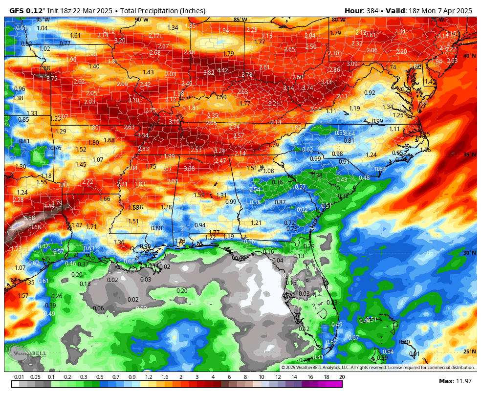
16 day forecast rainfall off the deterministic GFS
SEVERE WEATHER OUTLOOK FOR SUNDAY?
A broken line of strong to severe thunderstorms is expected to move into northwestern Alabama Sunday night between 8 PM and 2 AM. The Storm Prediction Center maintains a Level 1 Marginal Risk for much of the northern half of the state, now extending as far east as the Birmingham metro and Blount County. The greatest risk lies generally along and north of I-59, where scattered storms may produce damaging wind gusts up to 60 mph and hail up to quarter size. While the tornado threat is low, it’s not zero—especially near the Mississippi border. These events tend to overachieve when mid-level lapse rates are steep, and that’s the case here. Make sure you have a way to receive warnings, especially if you live in northwest or north-central Alabama.
NATIONAL WEATHER SNAPSHOT?
While Alabama watches for storms Sunday night, wintry weather will be making headlines farther north. Snow is expected across the Upper Midwest and northern Great Lakes on Sunday, including Minnesota, Wisconsin, and parts of Michigan, with totals ranging from 1 to 6 inches. That snow will then slide into upstate New York and northern New England on Monday. It’s not a blockbuster event, but just enough to cover grassy surfaces and bring slick spots to colder regions. Looking ahead, cooler-than-average temperatures are favored for much of the eastern U.S. as we close out March and head into early April, while the most active severe weather zone remains focused on the Tennessee Valley and southern states.
TROPICAL WEATHER OUTLOOK?
Tropical cyclone activity is not expected in the Atlantic basin over the next seven days. Hurricane season begins June 1 and runs through November 30. Now’s a great time to review your preparedness plans and restock your emergency kits ahead of the season.
BEAUTIFUL BEACHES FORECAST?
It’s a great spring weekend to visit the beautiful beaches of Alabama and Northwest Florida. Sunday will be sunny and breezy with highs in the low 70s. Surf heights will run 1 to 2 feet, with water temperatures in the mid-60s. Rip current risk remains low, but always stay aware near jetties and piers. Overnight Sunday into Monday, a few showers and storms may move through, with rain chances highest on Monday. Sunshine returns Tuesday through midweek with highs back into the 70s and moderate rip current risk continuing.
COMING UP ON WEATHERBRAINS?
This Monday night at 7 p.m. CDT, WeatherBrains is sounding the alarm. At a time when billion-dollar weather disasters are increasing, and hurricanes and tornadoes are intensifying, the National Weather Service is facing critical budget cuts. Our powerhouse panel includes Tom Skilling, Dr. Louis Uccellini, Dr. Don Wuebbles, Dr. Victor Gensini, and Paul Daly—some of the most respected voices in meteorology and climate science. You don’t want to miss this one. Watch it live on YouTube.com/WeatherBrains, or catch it later at WeatherBrains.com or wherever you get your podcasts.
THIS DAY IN WEATHER HISTORY: MARCH 23, 2014?
On this date in 2014, the National Weather Service in Norman, Oklahoma, marked 294 consecutive days without issuing a tornado warning. That was the longest tornado warning-free stretch in the history of that office—a rare and welcome quiet period in a typically active region.


