
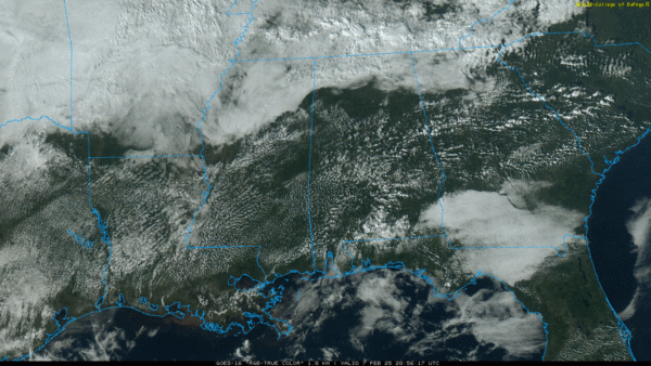
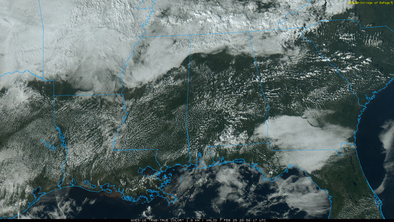
RADAR CHECK: Showers are very hard to find across Alabama this afternoon; with a mix of sun and clouds temperatures range from the upper 50s at Huntsville to 80 degrees at Mobile. The sky becomes mostly cloudy late tonight with a low in the 55-65 degree range.
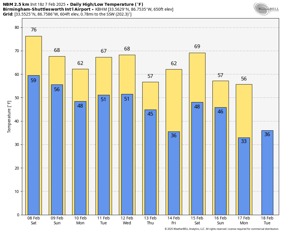
THE ALABAMA WEEKEND: A front over North Alabama will lift northward tomorrow, and all of the state will see highs in the 70s; a few spots could see 80 degree warmth. Then, on Sunday, the front moves southward again and highs drop into the 60s for the northern counties. Showers will remain isolated; most of the weekend will be dry with some sun at times.
NEXT WEEK: Showers remain widely spaced on Monday, but very wet weather is setting up for Alabama and the Deep South Tuesday through Thursday, with multiple waves of rain and a few thunderstorms. Rain amounts next week will be in the 2-4 inch range for the northern half of the state; isolated amounts to 5 inches are possible over the Tennessee Valley. South Alabama can expect 1-2 inches.
While a few thunderstorms are certainly possible, for now the risk of severe storms looks fairly low. Flooding is the greater concern, especially by Thursday.
Dry air returns Friday; highs will be mostly in the 60s through the week, although communities across the Tennessee Valley will hold in the 50s on most days. Still no sign of any bitterly cold Arctic air for the Deep South for the next 10-15 days; See the video briefing for maps, graphics, and more details.
ON THIS DATE IN 2017: Six tornadoes traveled across southern Louisiana. The strongest tornado, an EF-3, impacted eastern New Orleans.
ON THIS DATE IN 2018: Six brief tornadoes touched down across Central Alabama, including an EF-1 that moved through the community of Gallion in Marengo County (east of Demopolis).
Look for my next video briefing here by 6:00 a.m. Monday… enjoy the weekend!


