
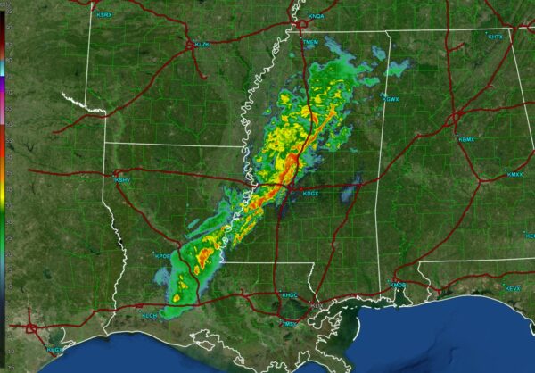
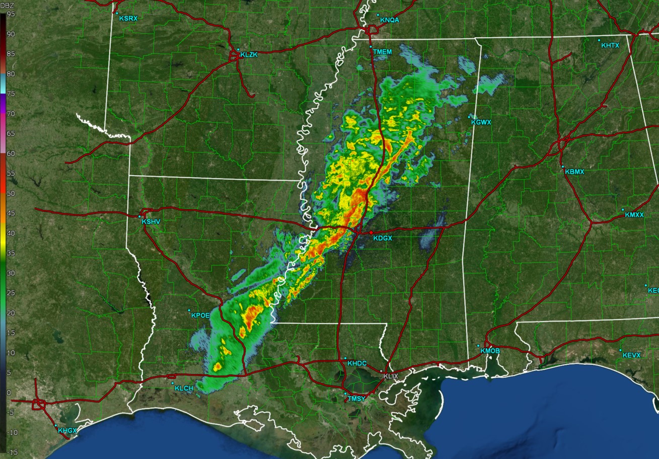
As of 11:05pm CST, a line of strong thunderstorms was moving through portions of Mississippi. These storms have occasionally pulsed to severe limits, necessitating the issuance of scattered severe thunderstorm warnings. However, all but one warning (in central Louisiana) have been dropped.
As the storms progress east, they will move into an environment over AL that is not favorable for severe weather. Therefore, we expect these storms to weaken. With that said, there is a low end marginal risk of severe storms across extreme south Alabama tomorrow. Storms should enter the state around 1:30-2:30am, the I-65 corridor around sunrise, and south Alabama through late morning/early afternoon.
As previously stated, the risk of severe weather is confined to south Alabama and is low. If a storm became severe, the main hazard would be from damaging winds in isolated locations.


