

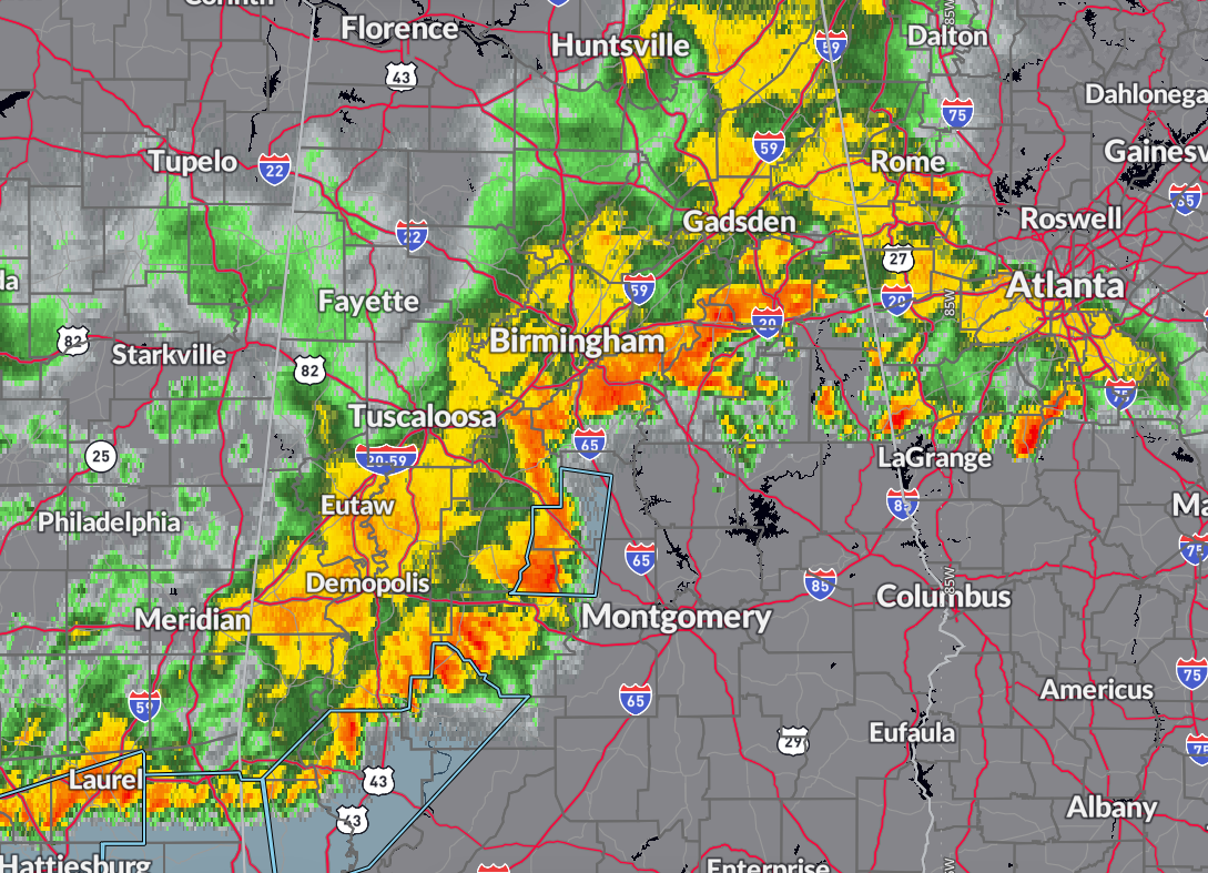
Storms across central and southern Alabama have gradually weakened late tonight, and the National Weather Service is now transitioning from severe thunderstorm warnings to primarily special weather statements. While the overall intensity has decreased, many of these storms still carry the potential for gusty winds capable of blowing around unsecured objects or downing small limbs.
The main threats at this point are isolated wind gusts and heavy rain as the line of storms continues its slow eastward push. Conditions should continue to improve through the early morning hours, but residents in the path of the storms should remain aware of rapidly changing weather and continue to monitor updates.
Signing off for the night. Talk to you tomorrow.
Category: Alabama’s Weather, ALL POSTS, Severe Weather, Social Media


