
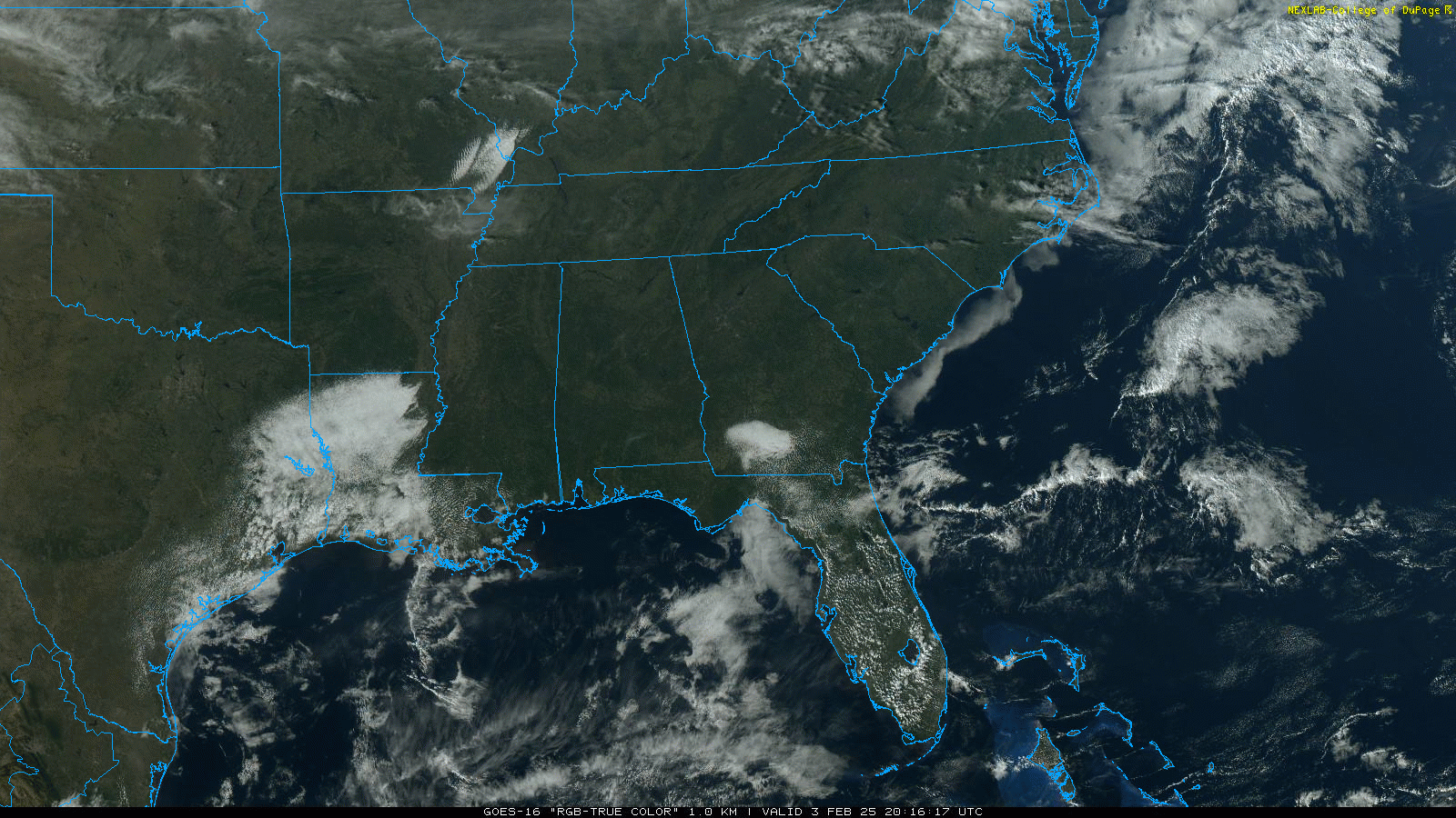
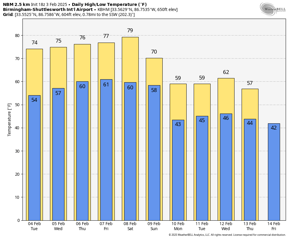
SPRING PREVIEW: With sunshine in full supply, temperatures are in the mid 70s across much of Alabama this afternoon. Tonight will be clear with a low in the 50s.
WARM DAYS AHEAD: Highs will be in the 70s again tomorrow, and over the latter half of the week South Alabama will have the potential to see low 80s. New record highs are likely along the way… here are the daily record highs for Birmingham this week:
February 4 77 (1927)
February 5 76 (1927)
February 6 77 (2019)
February 7 79 (2019)
February 8 83 (1918)
Most of the week will be dry, but a few showers are possible over the Tennessee Valley Wednesday through Friday. Rain amounts, if any, will be light and very spotty.
THE WEEKEND: Eighty degree warmth is possible as far north as Birmingham Saturday, and showers will be very hard to find. Temperatures begin to come down on Sunday as cooler creeps into the state from the north; highs will be in the 60s over the northern counties, with 70s for South Alabama. Showers are possible over North Alabama as the surface front sags southward, but again rain amounts will be light.
NEXT WEEK: Highs drop into the 50s and 60s next week, and global models are suggesting we could see a decent rain event by mid-week; at some point Tuesday through Thursday. Colder air will follow the rain late in the week, but models continue to suggest the coldest air will hold north of Alabama. See the video briefing for maps, graphics, and more details.
ON THIS DATE IN 1959: At 12:55 am CT, a plane took off from runway 17 at the Mason City, Iowa airport, carrying the lives of Buddy Holly, Ritchie Valens, and J. P. “The Big Bopper” Richardson. At the time of departure, the weather was reported as light snow, a ceiling of 3,000 feet with sky obscured, visibility 6 miles, and winds from 20 to 30 mph. At around 9:35 am, Hubert Jerry Dwyer spotted the wreckage less than 6 miles northwest of the airport. The three musicians and the pilot died from this crash.
ON THIS DATE IN 2022: A slow moving cold front moved through Alabama during the afternoon and evening hours. A supercell thunderstorm developed in far eastern Mississippi and then produced three EF-2 tornadoes across West Alabama. One person was killed near Sawyervile in Hale County.
Additional storms produced 2 E-F0 tornadoes in Elmore County. The line of storms stalled along and south of the Interstate 85 corridor. Radar estimated precipitation was around 7 plus inches and several areas of flash flooding were reported.
Look for the next video briefing here by 6:00 a.m. tomorrow…