
Summer has begun, and hurricane season is in full swing. As
we keep a wary eye on the storms developing over the Atlantic, we continue to
look back 50 years ago as tropical storm Agnes made land fall over Pennsylvania.
As discussed in prior posts in our Agnes series, destruction of property and
lives was intense with tropical storm Agnes in Pennsylvania, leaving homes and
businesses in disrepair. Agnes imposed tremendous stress on the federal budget
with the passage of the Agnes Recovery Act which allocated nearly two billion
dollars for the relief effort to Pennsylvania alone. This led to changes in
flood disaster protection measures and the creation of Federal Emergency
Management Agency (FEMA) (Grumbine 2017). Today we are looking at the results
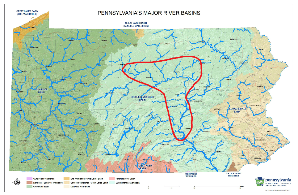
of Agnes’ fury in the middle section of the Susquehanna River Valley.
June 25, 1972, just two days after the flooded Susquehanna
River crested at 34.1 feet in Williamsport, Pennsylvania an industrious doctoral
archaeology student set out to survey the region. William H. Turnbaugh, a driven
Ph.D. student, watched as the smaller tributaries to the Susquehanna subsided
and drained quickly into the river due to the steeply pitched watershed, not
allowing the river to recede (Turnbaugh 1977). Attributed to the 1955 levee
system built in Williamsport and South Williamsport these cities managed to
escape much of the extensive damage towns and cities further down and up the
river sustained. Deserted towns full of muddy homes, shops, and churches stood as
waters receded and those who fled the surging waters could return (Turnbaugh
1977). Roads were impassable, debris from homes and businesses strewn
everywhere, and farms fields and crops were destroyed.
Once the waters began to recede, Turnbaugh quickly realized
the most visible result of the flooding on archaeological sites was erosion. After
extensive survey throughout Lycoming County, three main types of erosion were
identified as affecting numerous archaeological sites. The first form of
erosion Turnbaugh identified is channel erosion, this is where small streams
would cut across areas to create shortcuts around their natural loops creating
channels through the soil. Sites that Turnbaugh identified as having been
channel eroded include Precontact sites 36Ly11, 36Ly45, 36Ly99 and 36Ly146, all
of which were nearly destroyed by channel erosion (Turnbaugh 1977).
The Late Woodland site (450- 1,100 years ago) 36Ly146 had a
channel running about 500 feet through it with depth up to three feet deep and a
large portion had been washed away. Due to the flood damage and large amounts
of deposited sand and stone very little was found on this site. A few Clemson
Island pottery sherds, believed to be from a single pot, were the main
archeological find at this site after the flooding (Turnbaugh 1972c).
 |
| Pottery sherds found at 36Ly146. Image from the collections of The State Museum of Pennsylvania. |
The second type of erosion Turnbaugh identified is pothole erosion,
this is where potholes are created in the ground from eddy currents burrowing. The
site most significantly affected by this form of erosion the multi-component Precontact
site 36Ly74 (450- 10,000 years ago), where a 75 ft x 50ft x 5ft deep pothole
was created (Turnbaugh 1977). Artifacts recovered from this site during the
1972 survey included projectile points, net weights, and a trade bead.
 |
|
A netsinker, trade bead and a bifurcate |
The third form of erosion identified by Turnbaugh is sheet
erosion, this is where soils are evenly eroded across a large area. A few of
the sites affected by this form of erosion include the Archaic (11500-4850BP),
Woodland (450-
2,950 years ago), and historic sites 36Ly83 and 36Ly86. The Cliffside
site, 36Ly86 (450- 10,000 years ago), had 90% of the site exposed by the flood,
allowing for numerous precontact artifacts such as stone tools and projectile
points to be found during a surface collection (Turnbaugh 1977). William
Turnbaugh recorded and updated numerous sites in north-central Pennsylvania
following the Agnes flooding, but this was just the beginning, as a larger
survey sponsored by the Pennsylvania Historical and Museum Commission continued
this work later in the year (Smith 1977).
 |
|
Artifacts recovered from the Cliffside site, 36Ly86. |
The narrow valleys upriver from Williamsport on the West
Branch of the Susquehanna also caused extensive flooding. Sinnemahoning Creek
crested at 19.5 feet, flooding this region, and flowing downstream into the
Susquehanna. This and other creeks and streams in this narrow valley caused the
waters to surge into the river at pinch points flooding the areas that the
streams and creeks led to while also causing waters to rise further down river.
In Renovo, Pennsylvania the water rose and crested at 26.6 feet and in Lock
Haven, Pennsylvania, the water crested at 31.3 feet leading to significant
flooding in both areas (National Weather Service 2017). With widespread flooding in this region,
erosion occurred leading to additional archaeological finds. Included in these
finds are the Martin Whitcomb site (36Cm2), 36Cn49, and the Ramm site (36Cn44).
The Martin Whitcomb site, 36Cm2 spans from the Archaic
through the Woodland (450- 10,000 years ago). After the flooding from Agnes
receded artifacts such as projectile points, netsinkers and other stone tools
were found.
 |
|
Stone tools and projectile points |
The Ramm site, 36Cn44 is a Late Woodland site (450- 1100
years ago). Flooding from Agnes led to deep grooves along the rows of planted
crops up to several inches deep. Numerous
artifacts were found after the water receded including Clemson Island pottery
sherds, triangular and other points (Turnbaugh 1972a).
 |
|
Artifacts recovered from the Ramm |
The Archaic through Transitional (11500-2800BP) site, 36Cn49,
near Lock Haven, Pennsylvania also incurred extensive erosion due to Agnes. This
site produced projectile points, steatite artifacts, netsinkers and other stone
tools (Turnbaugh 1972b).
 |
|
Artifacts recovered from 36Cn49. Image |
Down river from Williamsport, flooding was extensive as
smaller tributaries surged from their banks and inundated the towns, cities,
and the river. Lewisburg, Harrisburg, and numerous towns between were
overwhelmed with flood waters. As in Lycoming County, Northumberland, Union,
and Dauphin County archaeological sites were discovered and further explored
after the waters receded. Landowners, archaeologists, and amateurs worked
together to record and collect on sites. Some of the additional sites found
during the year following Agnes include Pre-contact sites 36Nb6, 36Nb8, 36Nb10,
36Nb61, 36Un10, and 36Da30. The Berrier Island site, 36Da30 (450- 2,950
years ago), was severely eroded by Agnes at the northern tip and western
edge of the island, with approximately 75 feet of the western edge washed away
(Douts 1976).
 |
| Flooding of the Governor’s mansion in Harrisburg, Pennsylvania due to Tropical Storm Agnes. Image from Pennsylvania State Archives. |
Along with
sites found directly due to flooding and erosion, additional sites were
uncovered or updated in the process of flood mitigations. One of these sites
includes the Bull Run site, 36Ly119 (450- 10,000 years ago), in Loyalsock
Township found during an archaeological survey for the proposed project to
utilize the Williamsport Beltway roadbed to double as a levee (North Atlantic
Division Corps of Engineers, 1989). After extensive excavations at the
Bull Run site, it was found that a fortified village was located there. Due to
plowing activities and erosion, all occupation levels from Early Archaic to
Late Woodland (450- 10,000 years ago) were in the top 10-12 inches of soil,
indicating that only the bottoms of features remained intact (Bressler 1978). The
few artifacts found on the site represent small bands of people moving through
the area until the Shenk’s Ferry village was erected. Features in the Shenk’s
Ferry Village that were discovered included a stockade and trench, pits, hearths,
and post molds indicating the location of houses. One feature that is usually
indicative of Shenk’s Ferry villages that was not present, are keyhole
structures. This is thought to be the result of the missing topsoil from
erosion and plowing (Bressler 1978).
 |
|
Artifacts recovered from the Bull Run Site, |
Another site
that was uncovered due to post flooding mitigations is the West Water Street
site, 36Cn175 (200- 16,000 years ago). This site in Lock Haven, Pennsylvania, is
located upstream from the confluence of the West Branch of the Susquehanna and
Bald Eagle Creek causing this area to be prone to flooding (Custer et al.
1994). In 1979 the Army Corps of Engineers established a flood protection plan
around Lock Haven, but it wasn’t until the early 1990’s that the plan began to
be implemented. At the time archaeological work was done along the site the plan
of building a 17.7 foot high, and 100-foot-wide base levee was in place (Custer
et al. 1994).
 |
| Lock Haven Levee and William Clinger Riverwalk in 2014. |
In the process
of preparing for the new levee to be built archaeological surveys were
performed, which is how the West Water Street site (36Cn0175) was found. Additional
excavations were conducted on the site, resulting in the discovery of artifacts
and features spanning from the Paleoindian period (10,000- 16,000 years ago)
through the Contact period (about 300-450 years ago). Features such as house
patterns, post molds, a stockade, hearths, and storage pits were all found on
the site. Numerous forms of projectile points and pottery, clay pipe fragments
and stone tools, spanning the long period of time this site had been in use,
were all recovered.
 |
|
Late Archaic (4850BP – 6850BP) |
 |
|
Pottery recovered from the Clemson Island (450- 1100 years ago) |
Flooding is a continual issue for Pennsylvania and erosion continues
to play a serious role in the loss of archaeological resources. Thanks to the landowners,
amateur archaeologists, and professional archaeologists alike, our cultural
heritage is being recorded and preserved. Numerous sites, beyond what are
listed here, have been recorded thanks to these dedicated individuals. Please
help us continue to preserve our past for the future by contacting your StateHistoric Preservation Office (SHPO) with any information regarding cultural resources and their locations.
Our series on Agnes will continue over the coming weeks as
we move across the Commonwealth and into the Lower Susquehanna Valley. If you missed our Learn at Lunch program on
the impact of Agnes on cultural resources, you can watch the recorded program.
References:
Bressler,
James P.
1978 Excavation of the Bull Run Site in
Loyalsock Township, Lycoming County, Pennsylvania. Report submitted to Pennsylvania
Department of Transportation Montoursville, Pennsylvania.
Custer,
Jay F., Scott C. Watson, and Daniel N Bailey
1994 Data Recovery Investigations of
the West Water Street Site 36Cn175 Lock Haven, Clinton County, Pennsylvania.
Prepared for U.S. Army Corps of Engineers, Baltimore District. On file at The
State Museum of Pennsylvania, Section of Archaeology.
Douts, C.
1976
36Da30: Berrier Island Pennsylvania Archaeological Site Survey Form. PA-Share, https://share.phmc.pa.gov/pashare.
Grumbine,
Frank
2017 Inundation of the Heartland Tropical Storm
Agnes and the Landscape of the Susquehanna Valley. Electronic document, https://pa-history.org/wp-content/uploads/2018/09/Grumbine-Pencak-Paper-2017.pdf,
accessed June 3, 2022.
National
Weather Service
2017 Hurricane Agnes: The 45th
Anniversary. Electronic document, https://www.weather.gov/ctp/Agnes, accessed
June 23, 2022.
North Atlantic Division Corps of Engineers,
1989 1989 Water Resources Development in Pennsylvania. Report on file at the University of
Virginia Law Library.
Smith, Ira F.
1977 The Susquehanna River Valley Archaeological Survey. Pennsylvania
Archaeology 47(4):27-29.
Turnbaugh, William H.
1972a 36Cn44:
Pennsylvania Archaeological Site Survey Form. PA-Share, https://share.phmc.pa.gov/pashare.
Turnbaugh, William H.
1972b 36Cn49:
Pennsylvania Archaeological Site Survey Form. PA-Share, https://share.phmc.pa.gov/pashare.
Turnbaugh, William H.
1972c 36Ly146:
Pennsylvania Archaeological Site Survey Form. PA-Share, https://share.phmc.pa.gov/pashare.
Turnbaugh,
William H.
1977 Man, Land And Time: The Cultural
Prehistory and Demographic Patterns of North-Central Pennsylvania. The
Lycoming County Historical Society. UNIGRAPHIC, INC., Evansville,
Indiana.
.


