
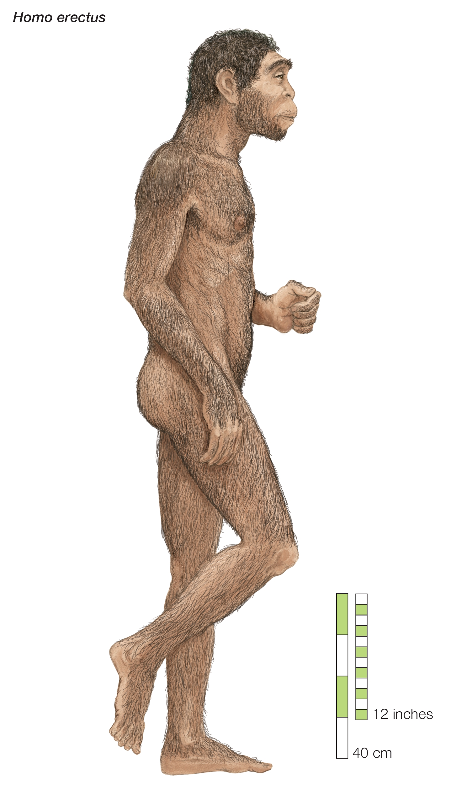
Archaeologists first discovered signs of H. erectus in Java, Indonesia, in the 1890s. Later, they found a phenomenal range of fossil skulls in Zhoukoudian, China. However, there’s very little evidence of the species between these two far-flung locales. In Southeast Asia, researchers have suggested some dental remains and putative tools associated with H. erectus, but there’s limited physical evidence documenting their presence. An obvious reason for this gap is the submergence of Sundaland that began about 400,000 years ago, wiping away most migratory routes our H. erectus ancestors would have crossed.
But not all the routes.
When our team undertook some modeling of migrations to try to understand the paths that H. erectus may have taken through Sundaland when it was above water, they did indeed indicate that the path of least resistance between Mainland Southeast Asia and Java is now underwater. But depending on sea levels and the degree of subsidence, there are still a few places where these paths cross dry land today.
With possible pathways through the Riau Archipelago mapped out, our team set off for Bintan, Batam, Karimun Besar, Kundur, Lingga, and Singkep to see if we could find any traces of ancient hominins.
We knew our chances were slim—most of the spectacular discoveries in human evolutionary research in Southeast Asia have been made in limestone caves. Over the last decade, I have mainly searched for fossils in caves on the island of Sumatra, alongside Indonesian and Australian colleagues. The major exception has been the fluvial deposits of central Java, which have yielded remarkable tools and fossils of H. erectus.
But geology maps of the Riau islands show that they are dominated by granite, which is not an ideal rock type to preserve fossils. We also noticed significant deposits of lateralized soils and sediment, a rusty-red layer that tends to form in wet, hot tropical areas. These sediments formed from weathered granite and are acidic, not ideal for long-term preservation of bone.
Nevertheless, our geological maps indicated the possibility of finding Pleistocene sediments on some of these islands. And we knew from experience that geology maps are never completely accurate. So, we took our chances.
TRANSFORMED LANDSCAPES
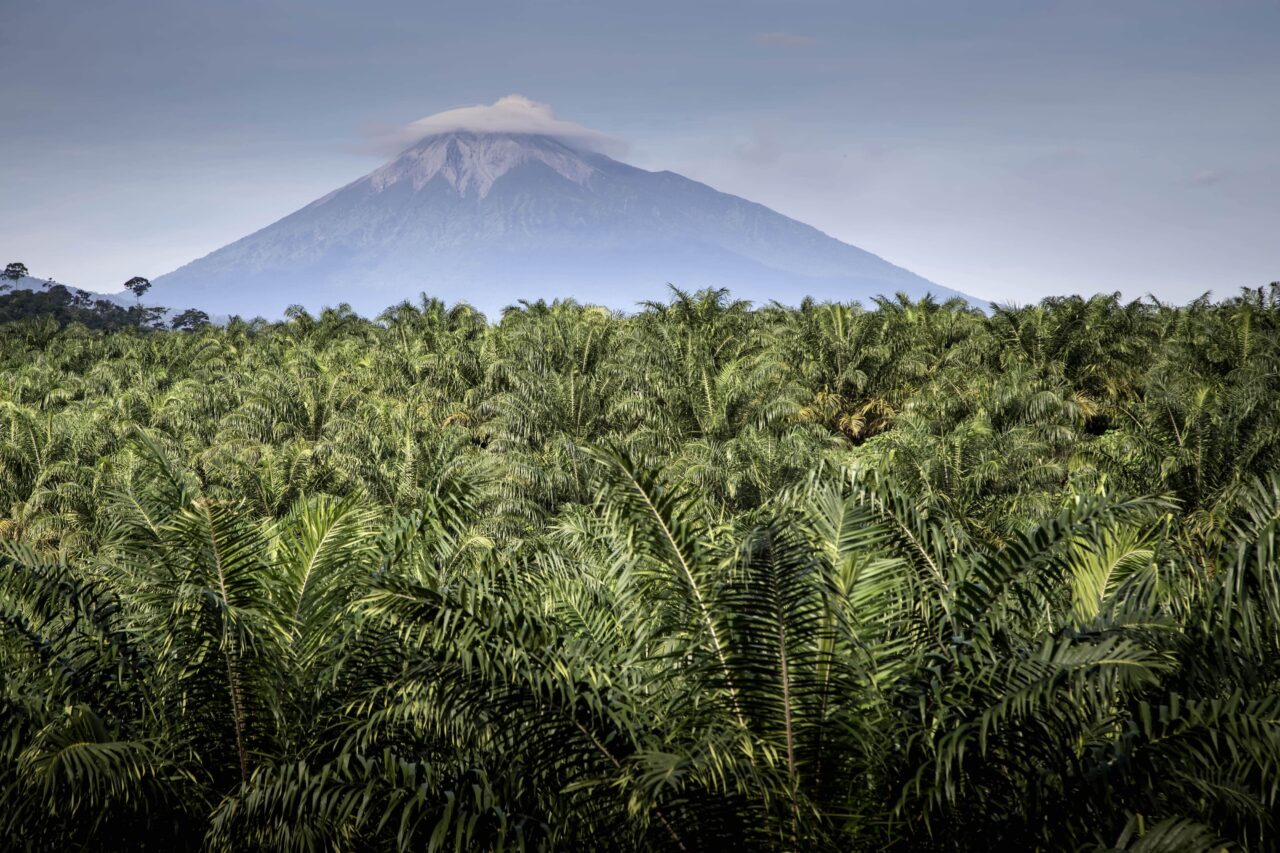
I had never encountered islands or landscapes quite like those in the Riau Archipelago. It seemed like every square inch of the islands had been transformed. Where normally I would expect to see the jungle encroaching on all sides, we encountered scrubby plains and barren grasslands.
Urbanization, mining, palm oil plantations, and small farms played a part. Still, they couldn’t fully explain the entirely human-made landscape we came across. The culprit—we later learned when researching the historical record—was gambier. This is an extract from the leaves of Uncaria gambir, a native plant in heavy demand from the middle of the 17th century as a tanning agent and dye.
The forests of the Riau Archipelago were cleared at a breathtaking rate to make way for this crop. Colonial reports from 1821 to 1870 indicate that up to 5 percent of an island was cleared in a single year at the height of production. Although some secondary regrowth occurred after the collapse of the gambier industry after the 1870s, the islands never really recovered.


