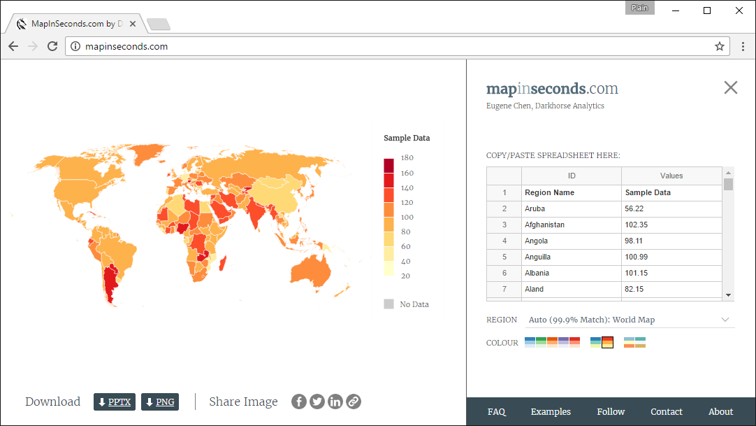
MapInSeconds.com automatically chooses the map you need based on the data you have. It analyzes the keys in the left column of data , and selects the map that best matches those keys. Of course you can always manually select a specific map.
Furthermore, colours for political, non-numeric data are automatically chosen for the United States and Canada. For example, non-numerical data like “NDP” or “New Democrat”, “Conservative” or “PC”, “Liberal”, “Bloc”, “Greens” have political colours automatically assigned to them for Canadian maps.