
Thanks to names like Black Bob Road, Shawnee Mission School District, and the city of Shawnee, we often think of the Shawnee Tribe when imagining the lives of Johnson County’s indigenous residents. However, the Kaw Tribe inspired the name for our state and lived on this land long before the Shawnee were displaced westward.

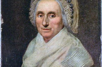
Johnson County Museum Collection on JoCoHistory
Before Anglo settlers moved across the North American continent, a people established themselves across the plains. Before the land was crisscrossed with imaginary, agreed-upon borders, a family of tribes moved along the Missouri and Mississippi Rivers. These nomads belonged to the Dhegiha (pronounced they-GEE-hah) section of the Mississippi Valley Siouan peoples. The Dhegiha tribes share a culture with similar family relationships, war customs, and dances in each branch. They moved into the area sometime between the sixteenth and eighteenth centuries, using the river as their tribal identification.
It is thought the Dhegiha tribes started migrating from the Ohio River Valley as early as the year 1300. The first to break off were the Quapaw, whose name is translated as “downstream people,” who followed the river down into Arkansas. The Omaha, or “upstream people” settled in present-day Nebraska. The Osage and Kansa split along the Missouri River with the Osage, “middle waters people” traveling down to the Ozarks, and the Kansa, or “people of the southwind” heading off into the plains of Kansas along the Kansas River. This tribe used the wind to recognize their warriors, thus the wind-inspired name rather than a water-inspired name.
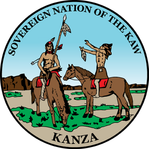
Other appropriate names for the Kansa are the Kaw, Kanza, Konze, or, appropriately, Kansas. The modern tribe refers to themselves as the Kaw Nation so we will refer to this group of people as the Kaw for the remainder of this blog post.
As a semi-sedentary tribe, the Kaw mostly kept their settlements to the northern and eastern areas of modern-day Kansas, including modern day Johnson County, with their hunting grounds extending into western Kansas, especially along the Solomon, Smoky Hill, and Arkansas Rivers. In fact, Lewis and Clark’s Corps of Discovery camped on the site of a Kaw village near where the Kansas and Missouri Rivers meet in Wyandotte County. However, they did not interact with the tribe as they were hunting buffalo to the west. The site is now Kaw Point Park in Kansas City, Kansas.

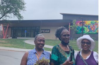
Author photo
There is not much information on the traditional way of Kaw life. By the time their histories were recorded using written language, much of their lifestyle had changed to adapt to their new reality of living among various tribes who had been displaced further west and incoming Anglo settlers. How the Kaw lived prior to first contact can only be glimpsed in the historical record.
As a nomadic people, the Kaw Tribe was divided into smaller semi-autonomous, mobile bands, described as “towns on the move.” Rather than domesticating animals and building permanent towns and cities like ancient Europeans did, bands of the Kaw followed the herd animals around the plains, relying on them for their food (meat), material (hide and leather), and tools (bone).
According to the Kanza Clan Book, there were once seven bands, one for each star in the Big Dipper constellation (called Wábaha Khe in the Kaw language). Each camp had a specific layout followed by the band members:
“Camp was arranged in a circular formation, with a wide avenue open at one end, usually the east. Half of the tribe always camped to the left of this avenue, and half of the tribe always camped to the right. The people that camped to the left were called Yáta (meaning ‘left side’) People, and the people that camped to the right were called Ishtónga (‘right side’) People. Each of these two halves – or moieties, as anthropologists label halves of groups – were then further divided into roughly eight clans, or collections of several extended families. Thus, there were approximately sixteen clans in the camping circle of a Kanza band.”
The clans that made up each band consisted of several extended families. In these families, cousins were often treated as siblings and there was little differentiation between parents vs aunts and uncles. However, hierarchy in the family was extremely important and everything down to names relied heavily on birth order. Families were patrilineal and grouped together based on the father’s clan with spouses ideally coming from different halves of the camp.
As the United States claimed more land west of the Mississippi River, the Kaw signed treaty after treaty diminishing their territory and forcing them to trade their nomadic lifestyle for one of settled family farms, disrupting the entire way of life for the Kaw as their hierarchy, roles, and affiliations centered around their camping circle. The Kanza Clan Book describes the average male member of the Kaw’s identity in the following way. Compare this description with a stationary life on a singular plot of land, and one can see the juxtaposition felt by tribal members.
“All these levels of social structure played a large part in a tribal member – especially a male – having a particularly wide scope of personal identification. He was first a member of a family, which was a member of a subclan, which belonged to a clan, which was part of both a particular [singing group] and one of the two moieties, which were the established divisions of a band, which was a semi-autonomous unit belonging to the tribe as a whole. Furthermore, the tribe was closely associated with the land through which it traveled and hunted.”

Photo courtesy of the Kaw Nation
Disease arrived prior to the white settlers and diminished the tribe’s population from several thousand to a mere 1,500 by the year 1800. The treaty of 1825 removed the tribe’s claim to the eastern Kansas area that includes present day Johnson County. Where they once claimed 20 million acres to roam, now their land was consolidated to 2 million acres west of present day Topeka. Once the railroad came to Kansas, the tribe’s land was further reduced to 256,000 acres at Council Grove via the Treaty of 1846. The Treaty of 1859 reduced their land even further leaving them 80,000 acres outside of Council Grove divided into 40-acre plots for each family. In 1872, the tribe was removed from their namesake land and moved to a reservation of just over 100,000 acres in Oklahoma that they had to purchase from the Osage Tribe. By this time, their members had shrunk to only 553 people and within 16 years of their move, they had only 194 members left.
The Kaw lost all legal power in the Kaw Allotment act of 1902 until they received federal recognition again in 1959. Today, the Kaw Tribal Headquarters are located in Kaw City, Oklahoma, and they are a federally recognized tribe with almost 4,000 members. The Kaw Nation sponsors a Powwow that is free and open to the public during the annual Washunga Days Festival in Council Grove every October.
To learn more about the Kaw Nation, you can visit their website here. To see other indigenous tribes who lived in the area, you can visit Native Land Digital.