

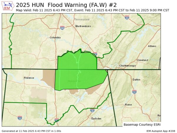
The NWS has issued a new flood warning for portions of northern and northeastern Alabama until 9pm this evening. This is due to the expectation of creek and stream flooding within the warned area. This includes portions of the following counties: Jackson, Madison, and Limestone.
Here are the details from the NWS:
* WHAT...Flooding caused by excessive rainfall is expected.

* WHERE...Portions of Alabama, including the following counties,
  Jackson, Limestone and Madison and southern middle Tennessee,
  including the following counties, Franklin TN, Lincoln and Moore.

* WHEN...Until 900 PM CST.

* IMPACTS...Flooding of rivers, creeks, streams, and other low-lying
  and flood-prone locations is imminent or occurring.

* ADDITIONAL DETAILS...
  - At 643 PM CST, Doppler radar indicated heavy rain due to
    thunderstorms. Flooding is ongoing or expected to begin
    shortly in the warned area. Between 2 and 3 inches of rain
    have fallen.
  - Additional rainfall amounts of 0.5 to 1.5 inches are possible
    in the warned area.
  - Some locations that will experience flooding include...
    Huntsville, Decatur, Madison, Athens, Scottsboro, Winchester,
    Fayetteville, Bridgeport, Moores Mill, Meridianville,
    Lynchburg, Redstone Arsenal, Hazel Green, Decherd, Estill
    Springs, Stevenson, Cowan, Owens Cross Roads, Ardmore and
    Hollywood.
  - http://www.weather.gov/safety/flood

PRECAUTIONARY/PREPAREDNESS ACTIONS...

Turn around, don't drown when encountering flooded roads. Most flood
deaths occur in vehicles.